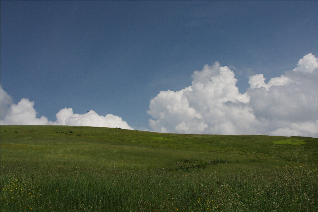
Max Patch Mountain, near the North Carolina-Tennessee state line, is what's known as a grass bald. The summit was cleared of trees in the 1800s for pasture for cattle and sheep. Today it is maintained in an open state by periodic mowing and burning by the U.S. Forest Service. The result is a 360-degree view of the Appalachian Mountains from an elevation of 4,629 feet (1,411 m).
I first visited Max Patch maybe 20 years ago during a hiking trip on the Appalachian Trail, which crosses the summit.
And, yes, I kept a camera handy way back then. I had told my wife about it, but she had never been there until a trip through western North Carolina last year brought us to a sign that read "Max Patch Road." Some things you just don't pass up.
There is a parking lot below the summit which still leaves a bit of a climb. The Appalachian Trail enters from the right, for north-bound hikers, and joins this trail near the summit. Snow Bird Mountain is down the trail to the right and Lemon Gap is straight ahead.
When we were there in June, Flame Azalea was blooming along the road near the parking lot, and Mountain Laurel was blooming further up the slope.
And taking a break along the summit was a group of through-hikers.
You ask the usual question, and get the usual answer:
"Where you headed?"
"North"


Want to visit this place definitely! It's on my list!
ReplyDeleteI've never heard of Max Patch. We just might have to take a trip there next spring.
ReplyDeleteIt reminds me of those meadows in 'The Sound of Music' - expecting Julie Andrews to arrive shortly! What a good idea though to maintain such a stunning 360-degree viewpoint.
ReplyDelete